
/ Catanova
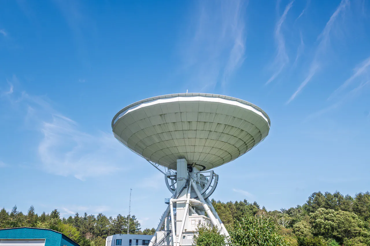
Catanova is a technological solution developed in collaboration with the European Space Agency (ESA).
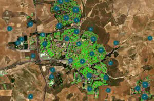
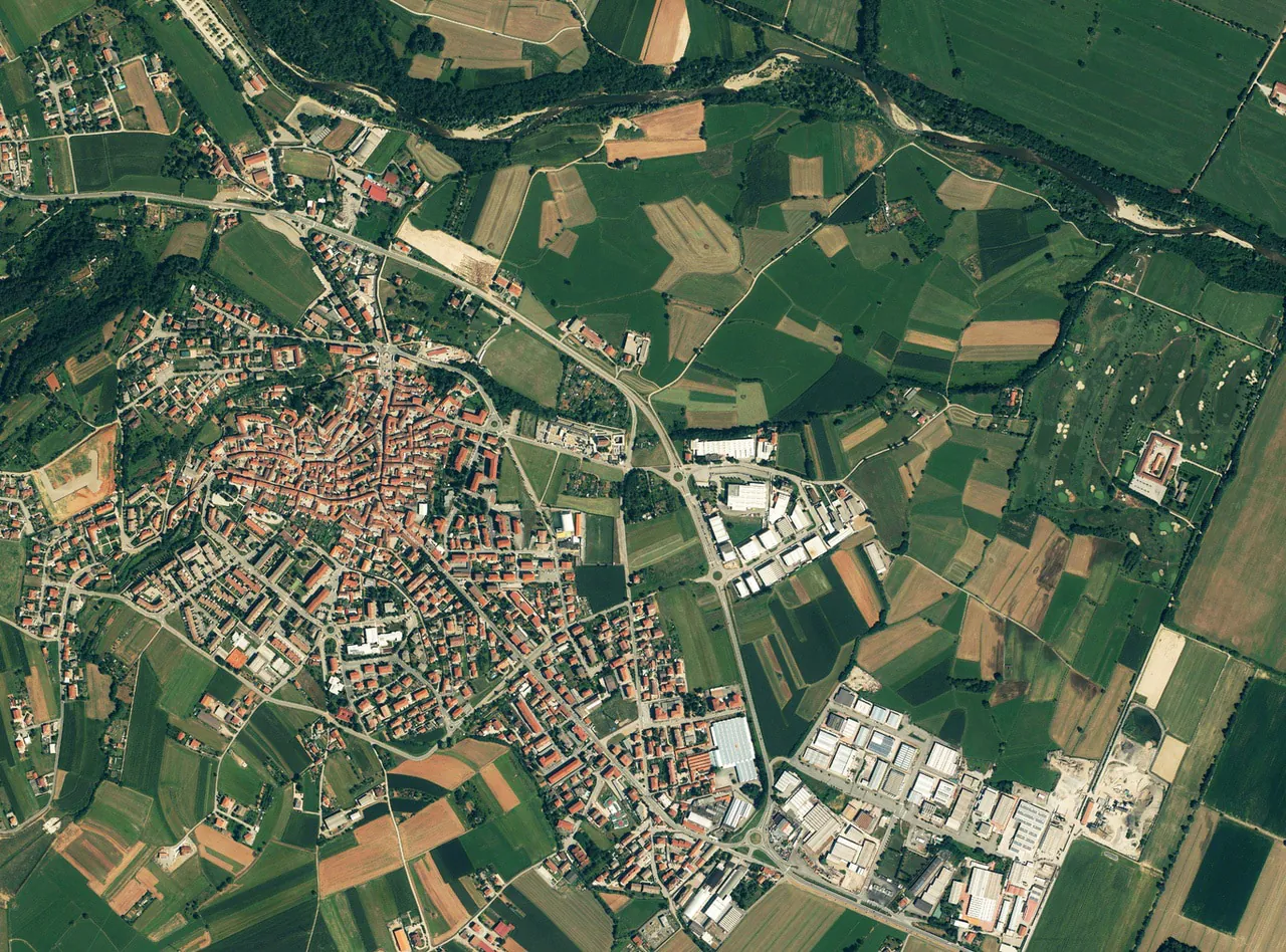
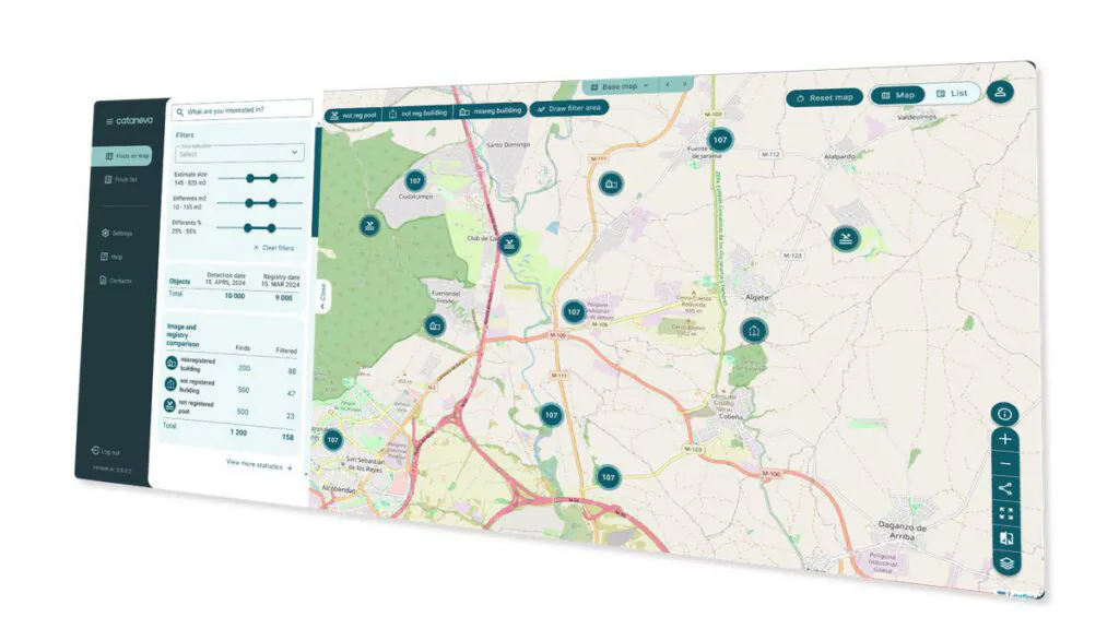
Through geospatial analysis techniques and advanced data integration processes, we detect discrepancies between urban reality and municipal records using satellite imagery, orthophotos, and official urban data.


/ DATEL at a glance
+
years of experience
+
million users
+
systems developed
+
countries with executed projects
We improve urban management through aerial imagery and satellite technology.
/ Services
/ Latest News
Discover updates, trends, and real-life cases on strategy, operational efficiency, and digital transformation applied to public administration.

Catanova en el encuentro de cónsules honorarios de Estonia en España (en translation)
El pasado 12 de noviembre tuvo lugar en Sevilla el encuentro de los cónsules honorarios…
Datel participa en el evento Estonia & e-Residency en Madrid (en translation)
El pasado 11 de febrero, Datel tuvo la oportunidad de participar en el evento matinal…
La optimización de la gestión urbanística con tecnología satelital llega a España con Catanova (en translation)
El lanzamiento de Catanova en España marca un hito en la digitalización de la administración pública. Como solución…
/ FAQ
Questions about our service? We have the answers
We are here to help you
Contact our team through the following form or by writing directly to info@catanova.es. We will assess your municipality’s urban planning situation and help you identify potential irregular constructions, even if you do not have a prior assessment.
/ Contact Form
/ Newsletter